
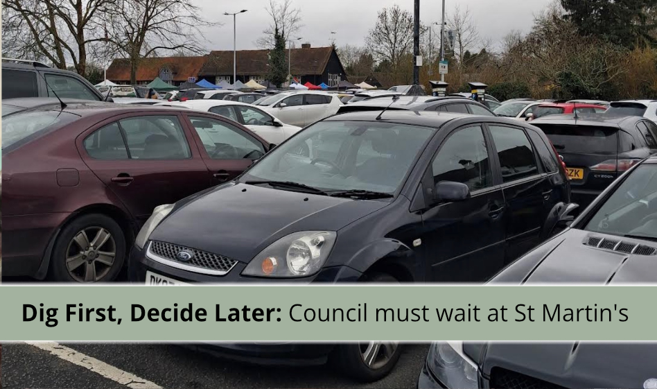
The planning application for new housing at St Martin’s Approach car park cannot be decided until an archaeological dig has taken place on site – and that dig hasn’t started yet.
The Greater London Archaeology Advisory Service (GLAAS), which advises the council on heritage matters, has made this a required step before any decision can be made, and because the trenches will sit within the working car park, residents should expect some parking spaces to be temporarily out of use once digging begins.
Here’s what’s being proposed, why the archaeology is required, where things currently stand, and what happens next.
The archaeological work has been commissioned on the council’s behalf as part of its own application. This isn’t unusual – councils regularly bring forward planning applications on their own land – but it’s a useful piece of context for understanding who is asking whom for what in this process, particularly given GLAAS’s criticism of the quality of evidence submitted so far.
The Proposal
The planning application (reference 49461/APP/2025/3009) covers the partial redevelopment of St Martin’s Approach public car park for residential use. In outline, it proposes:
- Six new houses, with associated landscaping, access and parking, on part of the car park itself, facing into St Martin’s Approach
- Reconfiguration of the remaining public car parking on site
- Resurfacing to extend public parking on the former Citizens Advice Bureau (CAB)
- Re-marking parking bays at the Winston Churchill Theatre car park
- A net loss of parking spaces: the St Martin’s carpark will be smaller, and there will be fewer parking spaces available overall
GLAAS has effectively split the application in two for archaeological purposes: the car park (where the housing is proposed) and the former CAB site (which is only being resurfaced, with no groundworks). Only the car park element requires archaeological evaluation, since converting the CAB site doesn’t involve digging.
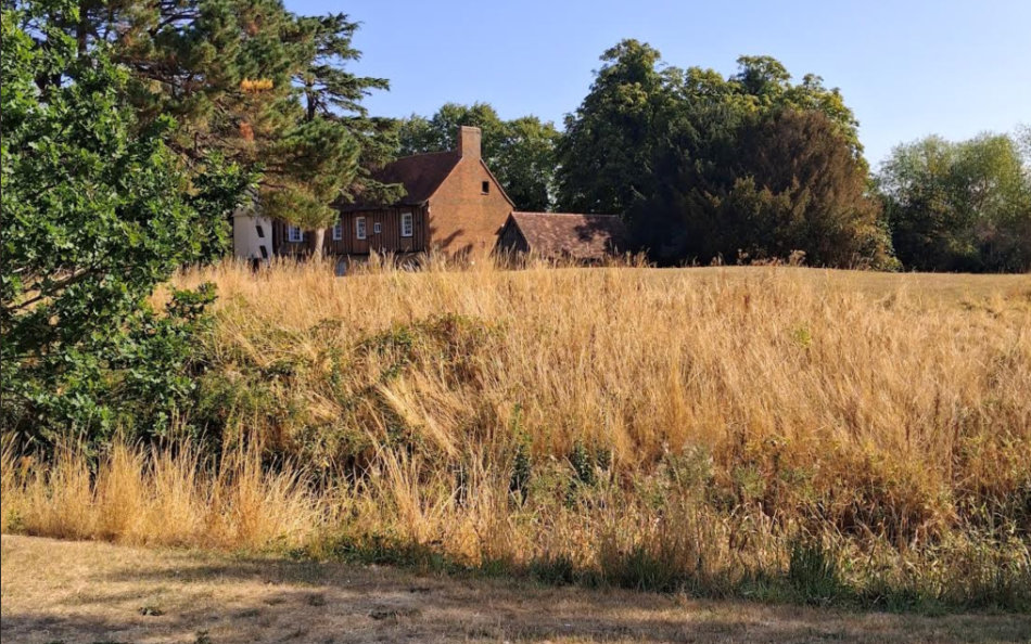
Photo taken August 2026 with thanks to Elizabeth Freestone
Why the Council Can’t Decide its own application Yet
The car park sits immediately south of the Scheduled Monument known as Ruislip Motte and Bailey, and within 100 metres of both the motte and St Martin’s Church – placing it firmly within the ‘Ruislip Archaeological Priority Area’, a zone the council flags for extra scrutiny because of the potential for below-ground archaeological remains.
GLAAS wrote to Hillingdon’s planning department on 9 March 2026 setting out their concerns in detail. Their letter makes several points:
- The site’s location – sandwiched between the scheduled motte and moated manor on one side and the medieval church on the other – means the proposed housing is likely to affect the setting of both heritage assets, as well as any archaeological remains buried beneath them.
- GLAAS found the applicant’s own Heritage Statement and archaeological desk-based assessment (an initial paper study, done before any digging) to be inadequate. The Heritage Statement, in GLAAS’s view, didn’t properly follow the standard methodology for assessing how new development affects the setting of nearby heritage assets.
- The desk-based assessment, meanwhile, was found to have missed two significant published sources on the area’s archaeology, and GLAAS noted an internal inconsistency in it – the document suggested any remains would likely be of low significance, while separately acknowledging the site could contain remains linked to the medieval castle and priory, without explaining the gap between those two conclusions.
- Despite these concerns, GLAAS did accept that extending the row of houses along St Martin’s Approach would likely cause “at most a low level of harm” to the setting of the Scheduled Monument itself – though it stressed that the reconfigured car park sits close enough to the monument that careful attention will be needed to design, lighting and street furniture, to avoid an urbanising effect on this part of the conservation area.
- GLAAS was clear that if proper archaeological evidence isn’t submitted before the council makes its decision, it would recommend the applicant’s failure to provide that evidence be treated as grounds for refusal.
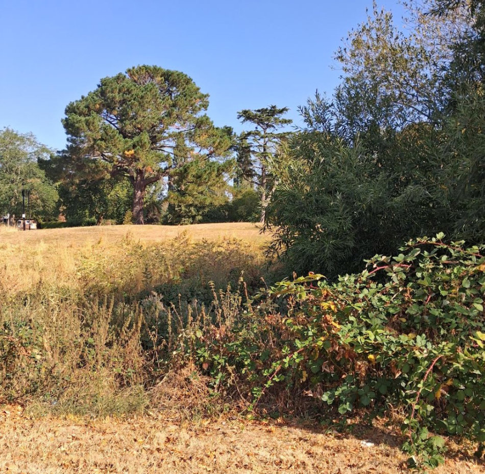
August 2026, awaiting rain. Thanks to Elizabeth Freestone for the photo
What’s Actually Been Submitted So Far
A document called a Written Scheme of Investigation (WSI), dated 21 August 2026, has now appeared on Hillingdon’s planning portal. It’s worth being clear about what this document is – and isn’t:
It is not an archaeological report, and it doesn’t tell us anything about what’s actually in the ground. It’s the method statement: essentially the applicant’s detailed plan for how the digging will be carried out – how many trenches, how big, where, how they’ll be excavated, and how anything found will be recorded. Think of it as the recipe, not the results.
The WSI sets out:
- Three trial trenches, each 15 metres long and 1.8 metres wide, positioned within the proposed housing footprint
- A pre-dig scan for underground pipes and cables
- Machine excavation down to the first significant archaeological layer, with archaeologists supervising throughout
- Hand excavation and detailed recording of anything found
- A pause-and-consult procedure with GLAAS if anything unexpectedly significant turns up
- Sign-off procedures before any trench can be filled back in

The St Martin’s Approach carpark, with the spaces described as unusable on the left… all being used.
Has the Digging Started?
No. As of now, there’s no evaluation report on the planning portal, and no confirmation that GLAAS has formally approved the WSI or that a start date has been set. The RRA has written to GLAAS to ask directly whether the WSI has been approved, when trenching might begin, and what the next steps will be – we’ll share the response once it arrives.
What Happens Next
Roughly, the process now runs as follows:
- GLAAS approves the WSI – no digging can begin before this happens.
- The archaeological contractor gives GLAAS advance notice of the start date, typically 10–14 days ahead.
- Trial trenching takes place on site – usually a matter of days for a site this size.
- An Archaeological Evaluation Report is produced, typically within 4–6 weeks of the dig finishing.
- GLAAS reviews the report and sends updated advice to the council.
- Only then can Hillingdon Council determine the planning application.
Impact on Parking
Because the trenches sit within the working car park, part of the site will be out of use once digging is under way. The WSI states that trench positions have been chosen to “retain accessibility to the car park” as far as possible, but residents should still expect some reduction in available spaces for the duration of the fieldwork – likely a matter of days rather than weeks, based on typical timescales for a site of this size. No exact number of spaces or start date has been confirmed yet; we’ll update this article once a schedule is announced.
A Site with Medieval Roots
It’s worth remembering why all this care is being taken. Ruislip’s motte and bailey castle was built shortly after the Norman Conquest and later became linked to a Benedictine priory, established under the Abbey of Bec. That priory grew into a substantial agricultural complex – its Great Barn, dating from around 1300, still survives today. After the priory was dissolved in the early 15th century, the land passed to King’s College, Cambridge, and the Manor Farm complex developed on the former priory site. Ruislip is regarded as one of the best-preserved examples of medieval rural settlement anywhere in Greater London.
The car park site itself has a much more recent, municipal history by comparison. Historic mapping shows it was occupied through the 20th century by a sequence of civic buildings – including an Institute, a Fire Engine Station and an Ambulance Station – with the former Citizens Advice Bureau building (demolished in 2019) the most recent occupant.
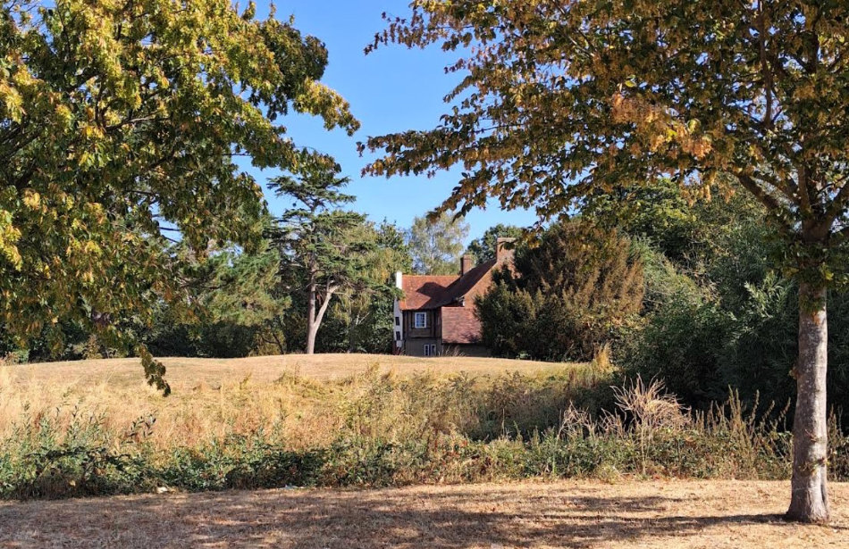
Thanks to Elizabeth Freestone for the photo
Why This Matters for Residents
Until the trial trenching has taken place and GLAAS has reviewed the results, GLAAS will not have the information it needs to advise on the application – and the true heritage impact of building on this site remains unknown. This isn’t red tape for its own sake: GLAAS itself has said it isn’t satisfied that the case for this development has been properly made yet, and given the site’s location beside a Scheduled Monument and a historic church, at the historic heart of Ruislip, that’s a genuine safeguard to make sure nothing of importance is lost or damaged without it first being properly understood and recorded.
The RRA will keep residents updated as GLAAS responds, a start date is confirmed, and – in time – as the results of the dig become known.

Comments are closed.