

Some local residents in North Ruislip on the evening of the 23rd of June 2016, when a third cloudburst in a couple of days fell on Ruislip. It is estimated that some 45mm of rain fell in around 45 minutes onto already saturated ground, causing the Pinn to overflow its banks. There was widespread flooding along the Ruislip Pinn, to include multiple residential roads on both sides of our river.
All of these residences are built on the flood plain of the River Pinn, and in our heavily urbanised area there is little scope for civil-engineering-based solutions. This Natural Flood Management projects seek to work with the natural features. Here in Park Wood SSSI the focus is the existing Coppicers’ Channel which will receive larger leaky dams and meanders.

A correctly wired down Leaky dam, built by volunteers in front of a sub-standard Pilot Study stack of logs,
Fast forward to today:
Since July 2022 organised residents groups to include North Ruislip Flood Action Group, the Ruislip Residents’ Association and the Ruislip Woods National Nature Reserve Management Advisory Group have been working with our Council,
as Lead Local Flood Authority, to apply for funding to mitigate flood risk from rain water falling on Park Wood Site of Special Scientific Interest.
With the addition of Metis, a flood consultancy, there is now a fully funded project to attempt to further mitigate flood risk from the approximately 220 aces of Park Wood Site of Special Scientific Interest that flows through a single culvert under both Broadwood Avenue and Park Avenue into Elma’s Ditch across Pinn Meadows and into the River Pinn.
The Detailed design is here:
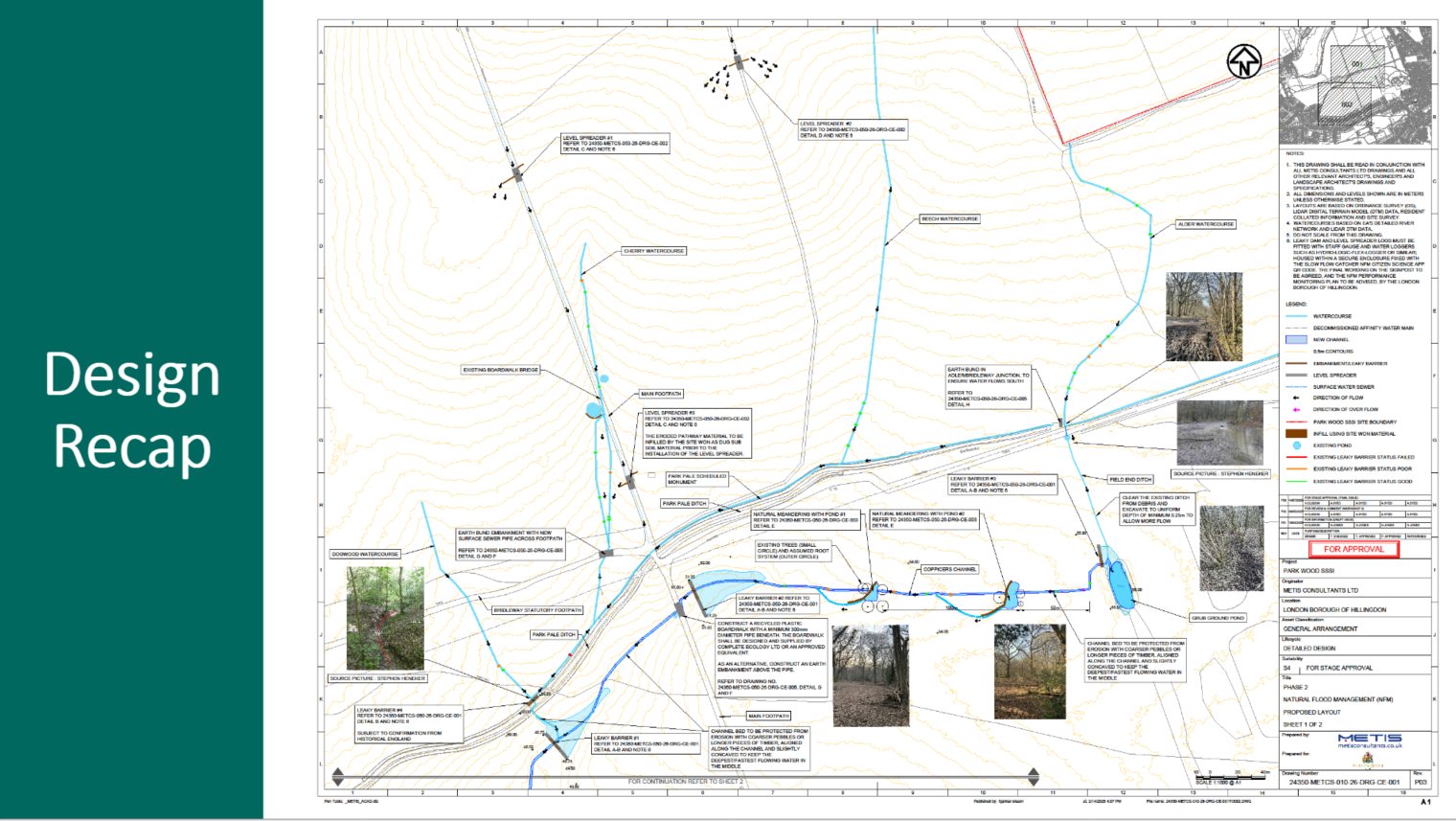
Our Council, and their chosen contractor O’Hara hope to complete the numerous separate works within 8 weeks.
We will be asking our Council to erect suitable informative signage at the entrances to Park Wood SSSI, to help visitors to our protected to understand the scope and intended outcomes of this project.
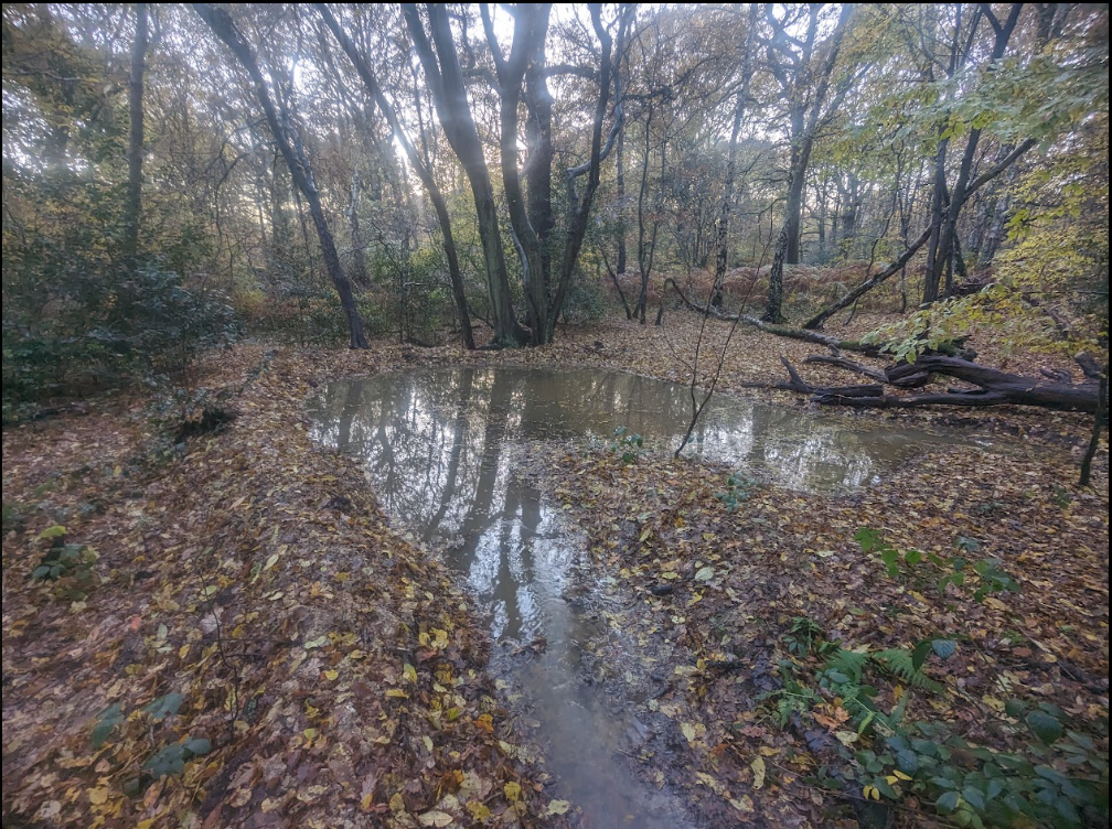
An offline pond, with associated downstream earthen bund, again built by volunteers


Comments are closed.